Advanced Air Mobility is arriving faster than the infrastructure to support it. Drone delivery corridors, eVTOL vertiport approaches, and large-scale UAV fleet operations all require precise local navigation instructions that GPS and ATC transponders alone cannot provide — especially at the low altitudes and high traffic densities where the next generation of airborne vehicles will operate. Beluga Navigation Systems brings digital waypoint infrastructure to the airspace, giving UAVs and eVTOLs the same active, rule-based guidance that BIDAR™ delivers on the ground and sea.
The Navigation Gap in Low-Altitude Airspace
GNSS gives an aircraft its position to within a few meters. What it does not give is local knowledge: which corridor to fly, when to begin the descent sequence, how wide the vertiport approach funnel is today, or where the temporary restriction zone boundary falls. That local knowledge currently requires a pilot, a ground controller, or an elaborate vision-and-machine-learning stack that is expensive, power-hungry, and subject to sensor occlusion.
BIDAR™ Long-Range GRGuide beacons deployed at corridor waypoints, vertiport structures, and restricted-zone boundaries communicate that local knowledge directly and digitally to approaching aircraft. A UAV or eVTOL equipped with GRNav receives precise positioning fixes and navigation commands as it approaches each beacon — up to 25 km away for high-altitude fixed-wing approach, down to 1 m accuracy for final vertical descent onto a pad.
Applications
- Drone delivery corridor management — mark entry gates, altitude transitions, and landing zones with active beacons that communicate speed and track constraints
- eVTOL vertiport approach guidance — replace complex visual approach aids with digital glide-path and pad-alignment instructions
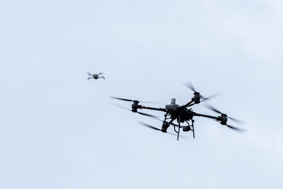
- UAV fleet deconfliction — issue time-stamped, position-keyed speed commands to multiple vehicles sharing a corridor without RF congestion
- Beyond Visual Line of Sight (BVLOS) waypoint infrastructure — give remote operations teams a verifiable digital proof that a vehicle passed a specific waypoint at a specific time
- Temporary flight restriction enforcement — deploy portable GRGuides at incident perimeters to issue digital turn-away commands to approaching vehicles
- High-speed jet approach guidance — Long-Range GRGuide (25 km) provides early positioning fixes for vehicles with slow response times or high approach speeds
How GRNav & GRGuide Work in Airborne Platforms
GRNav is lightweight and draws minimal power — critical constraints for battery-operated UAVs and weight-sensitive eVTOL airframes. The module’s Long-Range BIDAR™ transceiver acquires corridor beacons well before the vehicle reaches a decision point, giving flight control systems time to compute and execute smooth trajectory adjustments. Deceleration commands arrive with enough lead time to respect aircraft energy management constraints.
Because BIDAR™ is a digital radio protocol, it operates cleanly in GPS-degraded urban canyons, industrial sites, and other environments where satellite signal availability is inconsistent. The beacon-to-vehicle link is direct, authenticated, and not reliant on cellular or internet connectivity — resilience that matters when aircraft are operating autonomously beyond the range of a ground controller’s direct oversight.
Integration
GRNav integrates with flight controllers via serial interface and is compatible with MAVLink and similar autopilot command protocols. Custom integration for proprietary eVTOL flight management systems is available under NDA. The module operates in advisory mode for crewed or remotely-piloted vehicles, or in autonomous command mode for fully unmanned operations.
Building a UAV fleet, eVTOL platform, or AAM corridor? Let’s talk about your navigation challenge.
Contact Us →